Ranikhet

''Ranikhet is a place related with the legends of Himalayas. Historical accounts tell us the Queen Padmini of Kumaon was enchanted by this tiny hill paradise. King Sudhardev obliged her, by building a palace here for the queen and named the place Ranikhet (the queen's fields).
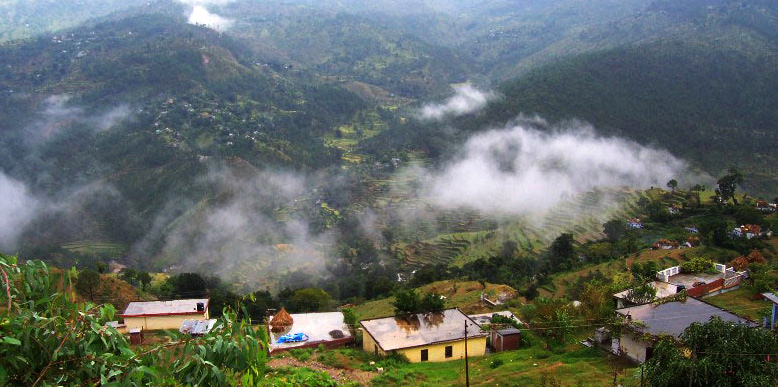
Ranikhet is situated in the northern part of the state of Uttaranchal, in the northern region of India. It is situated in the Kumaon hills and is located on an altitude of 1824 m above sea level.
''
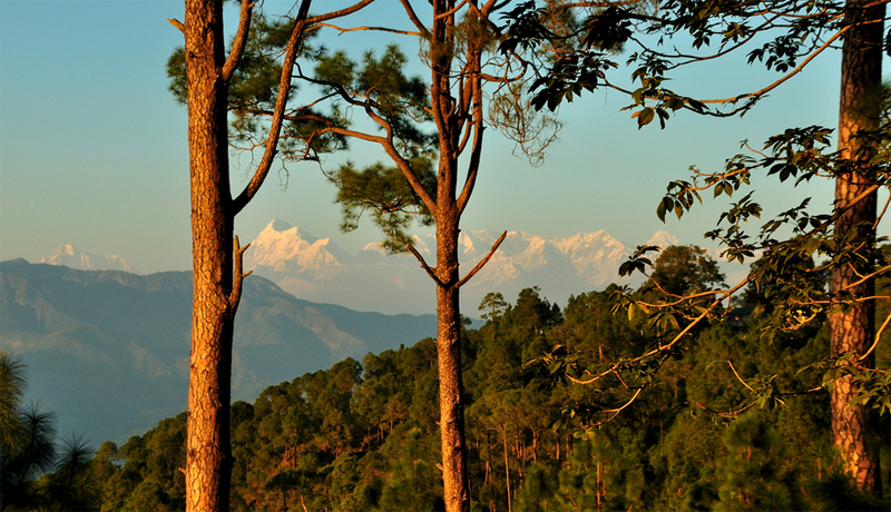
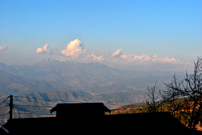
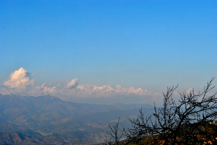
Ranikhet is a hill station and cantonment town in Almora district in the Indian state of Uttarakhand. It is the home for the Kumaon Regiment (KRC) & Naga Regiment and is maintained by the Indian Army. Ranikhet is within sight of the western peaks of the Himalayas.
According to popular belief, Ranikhet Uttaranchal got its name when Rani Padmini, queen of Raja Sukherdev, the local ruler, saw this place and was struck by its beauty.
BEST TIME TO VISIT
Ranikhet has a cool climate all through the year and can be visited anytime of the year. But the best time would be from February to November avoiding the heavy snow months.
PLACES AROUND RANIKHET
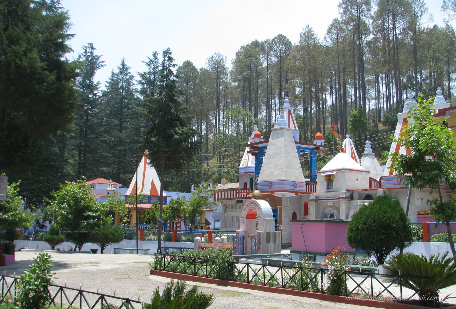
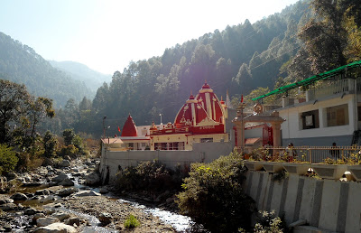
Jhoola Devi And Ram Mandir - 7 kms from Ranikhet. A famous pair of temples dedicated to Goddess Durga and Lord Rama.
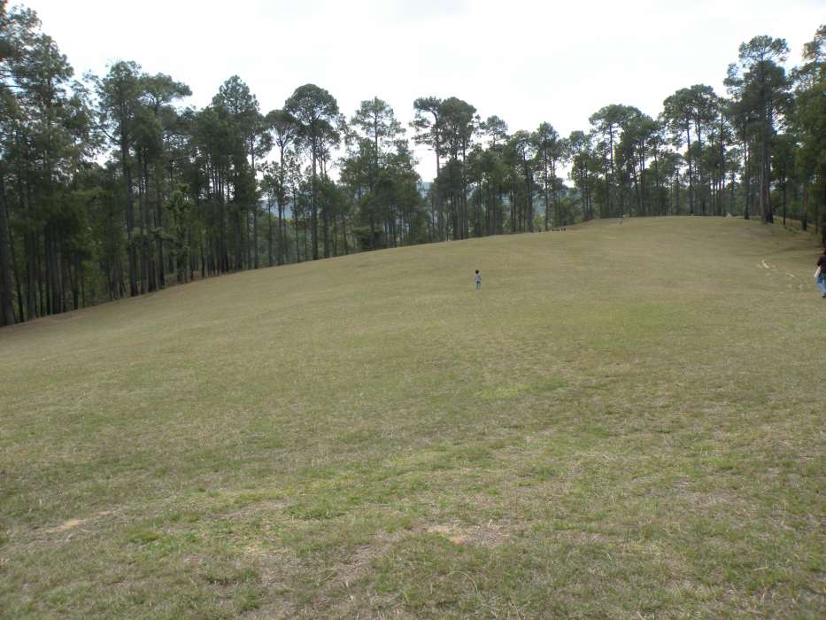
Chaubatia Garden - One of the best picnic spots in the vicinity. It is 10 km from Ranikhet and is set amidst sprawling fruit orchards and terraced gardens. There are walking trails within the site.
Binsar Mahadev Temple - Lying at the distance of approximately 15 km from Ranikhet, this popular temple of Lord Shiva has a stunning stream flowing just in its vicinity. The temple is surrounded by verdant cedar forests.
Upat & Kalika - Situated on the road to Almora, Upat has a 9 - hole golf course, while Kalika is famous for its Kali Temple and forest nursery.
Hairakhan Temple - Hairakhan Temple is located 4 km from Ranikhet town situated at Chiliyanaula, offers a spectacular Himalayan view. The temple was built by Shri Hairakhan Maharaj – known to be an embodiment of Lord Shiva.
Jaurasi - Located at a distance of 16kms. from Ranikhet, and situated at an altitude of 6000ft., above sea level, Jaurasi offers rich mountain view to the tourists.
CLIMATE
Goose bumps by frigid air even after layers of clothing in winters from November to February or an unexpected drizzle / downpour on a day of monsoon between August to October, taking Ranikhet tour anytime of the year is good. Summers are perfect to escape tropical heat if the above two seasons did not come to thought.
HOW TO REACH THERE
Air: Nearest Airport is Pant Nagar, at a distance of 119 km.
Rail: as with the other hill stations in the Kumaon Region, Kathgodam (83 km) and Ramnagar (96km) are the nearest railheads.
Road: Ranikhet is connected by road with all the major towns of the region. There are regular buses to Almora, Nainital & Ramnagar operated by KMOU & State Roadways, - 20643. It is also well connected to Delhi (279km), & Haridwar (254 km).
Fast Facts about Ranikhet
State: Uttarakhand.
District: Almora
Famous for/as: Hill Station
Languages: Kumauni and Garhwali, Hindi
Season: Mar - Jun, Sep - Nov
Winter: 0-24°C
Altitude: 1869 m
Pincode: 263645
STD code: 05966
Distance Charts to Ranikhet
Delhi to Ranikhet 365 KM
Indore to Ranikhet 1031 KM
Nagpur to Ranikhet 1180 KM
Pune to Ranikhet 1659 KM
Bangalore to Ranikhet 2243 KM
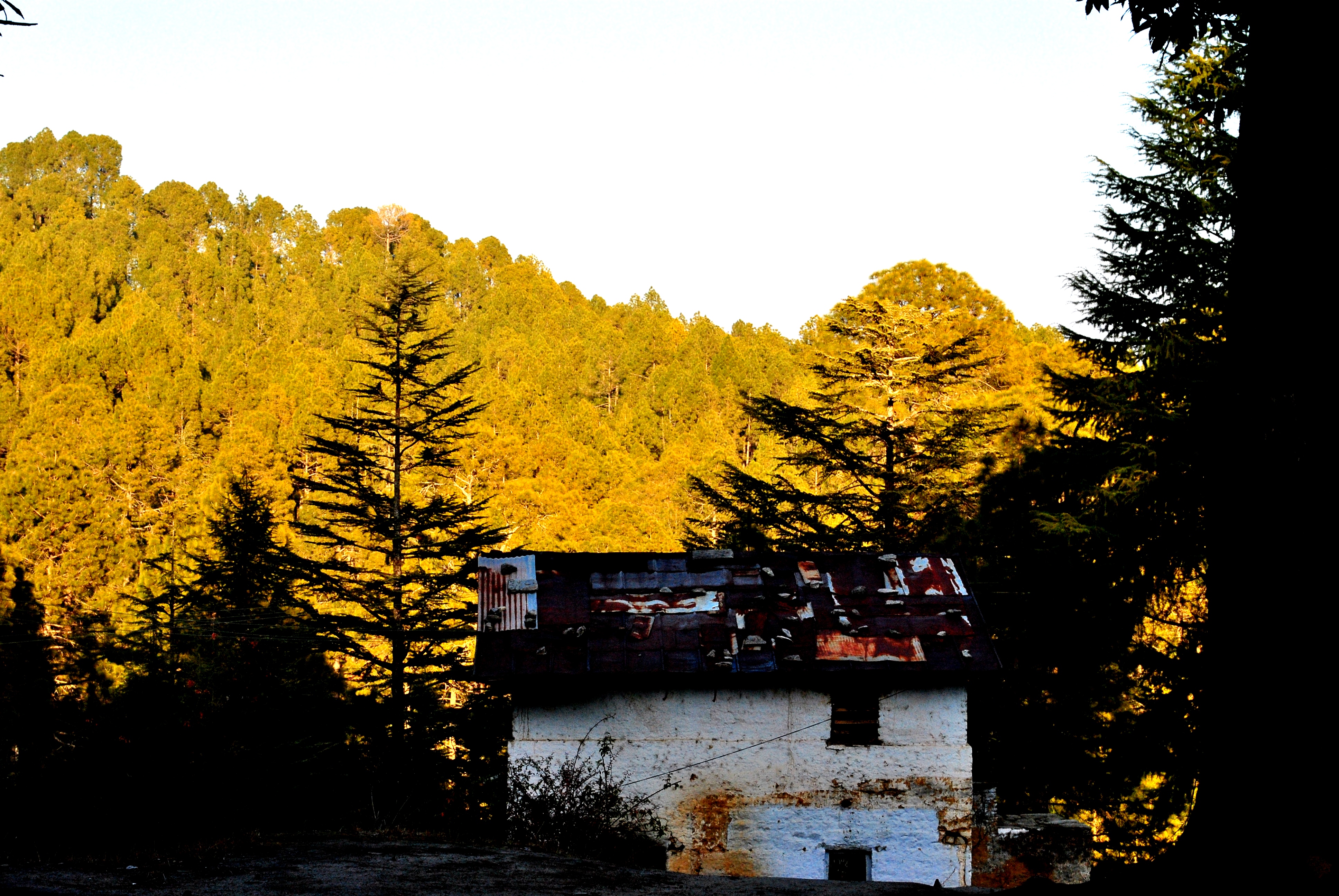
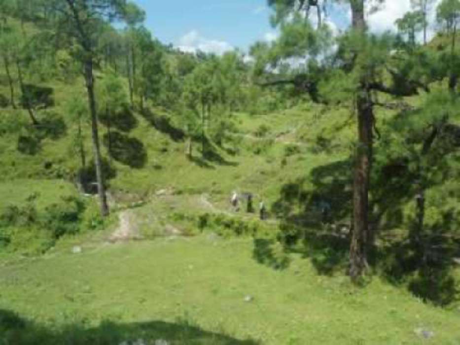
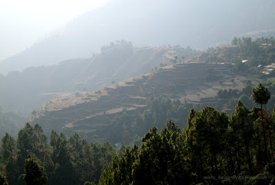
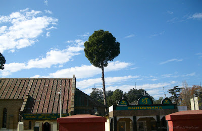
RANIKHET PHOTO GALLERY

Ranikhet
Ranikhet
Ranikhet
Ranikhet
Ranikhet
Ranikhet
Ranikhet
Ranikhet
Ranikhet
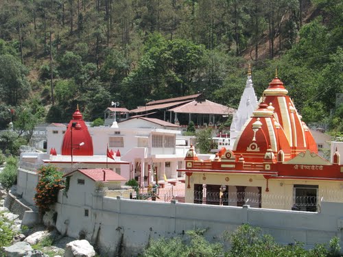
Kainchi Temple
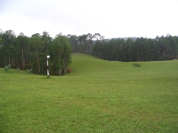
Golf Course
Jhula Devi
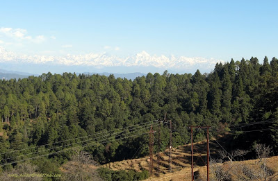
Ranikhet
Ranikhet
Ranikhet
Ranikhet